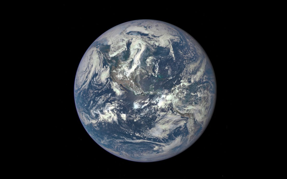
Thanks to next-generation satellite systems scientists have in place, like the National Oceanic and Atmospheric Administration’s GOES-R series, scientists are able to get high-definition images of Earth faster than ever before. This is data that helps paint a full picture of our planet; the satellites can be thought of as in collaboration with one another, using special tools to make measurements and take observations that would otherwise be nearly impossible to perform from the ground directly. Yet, as our climate continues to change at a rapid rate due to human activities like burning coal, and as scientists make more discoveries about how planet Earth itself works, technology needs to be updated. Only then can we truly understand what’s happening across our planet, including in terms of weather systems that impact the land and dynamics occurring deep below the ocean’s surface.
Earlier this month, the NOAA shared in a release that scientists determined, for a second time within the last decade, that a global coral bleaching event is underway across the Atlantic, Pacific and Indian Ocean basins. Sea-surface temperature data, gleaned from a blend of NOAA and partner satellites, helped confirm the ongoing event. But while NOAA scientists continue analyzing and documenting the severity and extent of this global event, which is being driven by ocean warming and extreme marine heat stress, there’s still more to understand when it comes to the anatomy and ecology of our oceans.
“For coral reef systems, including the global stressor of climate change and ocean warming, local stressors from pollution can impede coral growth and reproduction, disrupt the overall ecological function of the coral animals and reef ecosystem, and even cause disease and mortality in sensitive species. And the pollution can come from all over the place — wildfire runoff, agricultural runoff, harmful algal blooms, heavy rainfall events and landslides,” Ryan Vandermeulen, the NOAA’s National Marine Fisheries Service Satellite Coordinator, told Space.com.
Related: Earth is getting hotter at a faster rate despite pledges of government action
“Satellite remote-sensing of ocean color,” Vandermeulen continued, “gives us this really synoptic vantage point of living and nonliving microscopic materials in the aquatic environment. This gives us really critical insights into ecosystem variability, function health and vulnerability. We get down to the smaller level and see how local stressors are also impacting our communities.” This illustrates how scientists need to stay on top of monitoring changing environmental conditions, with evolving technology. After the launch of GOES-U in June of this year closes out the GOES-R constellation, the operational lifetime of the series will only extend into the 2030s.
Thus, the NOAA is already developing new instruments that will be part of its Geostationary Extended Observations (GeoXO) satellite system, the GOES-R successor.
“We know GOES-R is mostly focused on what we think of as the weather mission. So we plan to add a new instrument called the Ocean Color (OCX) instrument, and it’s going to be scanning the coastal areas around the US as well as some of the major lakes like the Great Lakes. It will be able to detect things like if there’s runoff or pollution there, or an oil spill … it’ll be able to tell how clear the water is,” Pam Sullivan, the NOAA’s GOES-R and GeoXO program director told Space.com.

“There’s actually going to be an air quality instrument that’s measuring really what the pollutants are across the U.S. on an hourly basis,” Sullivan continued. “GeoXO is also planning to add an atmospheric sounder, an instrument that looks in very fine detail at temperature and humidity and it can actually look at clear air and see where turbulence is starting and it can actually predict what trends are going to happen before they’ve even started.”
With a wide range of scientific advancements that will be part of the design and a focus on these important areas of study, scientists will have new capabilities to get even deeper with their research and obtain more data to complement technology already in place. Improvements will be made to GOES-R’s satellite imagery and lightning mapping abilities to enhance weather forecasts; new instruments will take measurements both in the ocean and the atmosphere, producing data we’ve not had in the past.
“We’re actually improving the spatial resolution, so even finer details we’re going to be able to see with our imager,” Sullivan said. “It’s really important that we are ready to launch this capability in the early 2030s. We’re really matching, in some ways, the instruments that other countries are already doing. China and Europe are already planning sounders as is Japan, Korea already has an ocean color instrument.
“I think it’s important for the U.S. to stay on the forefront of these observations and this understanding of our environment.”